
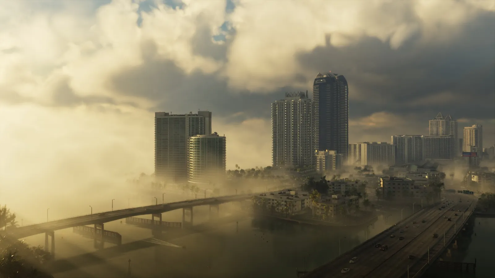
Label: OFFICIAL: six new in-game images and statements from Rockstar’s VP of Art: Lighting and Rendering, Owen Shepherd, to The Weather Channel. REPORTED: matching each image to a region is our own reading.
GTA 6’s weather is not decoration. Six new images, released with a Leonida forecast on The Weather Channel, show storms, fog and swamp. According to Rockstar’s Owen Shepherd, conditions change minute to minute and are “localized, persistent, and above all dynamic”.
The six images
What each image shows
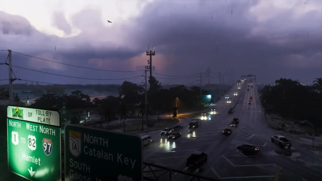
- Storm on the bridge: traffic in heavy rain. The green sign shows Vice-Pass or toll-by-plate and the way to Catalan Key.
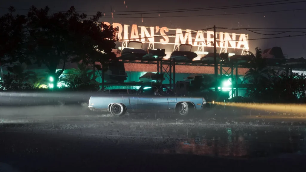
- Brian’s Marina: the sign is visible in the image. The road is soaked and the camera shows water drops.
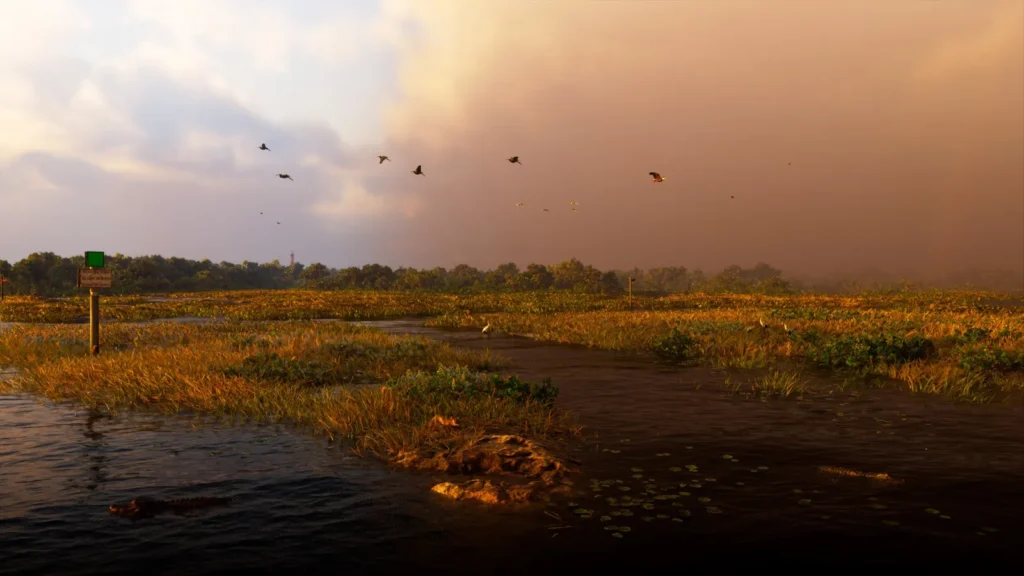
- Swamp: dark water, egrets and gators. From the Weather Channel description, it looks like Pelican Valley.
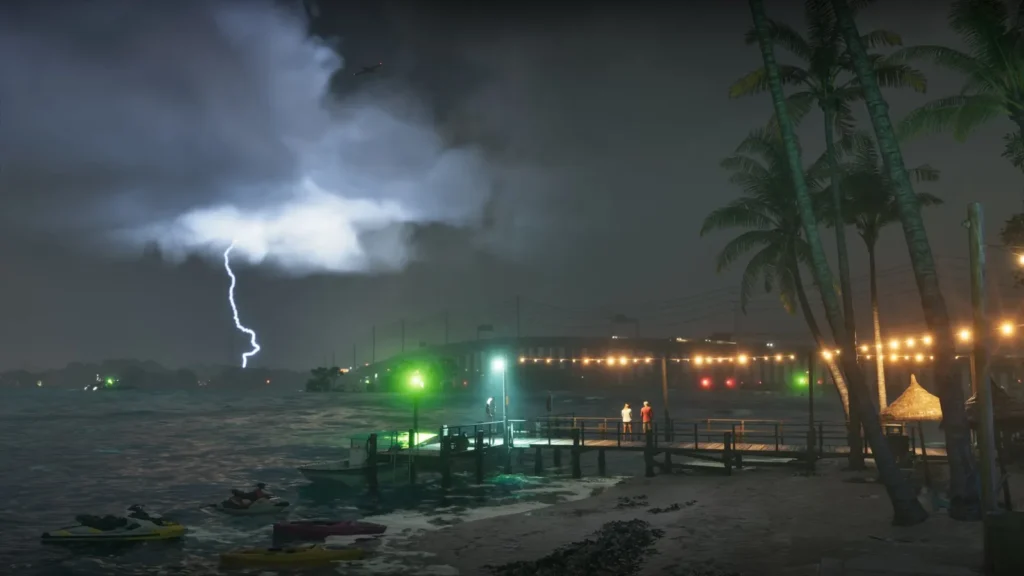
- Dock with lightning: choppy sea and people on the pier. From the description, it looks like Rusty Anchor.
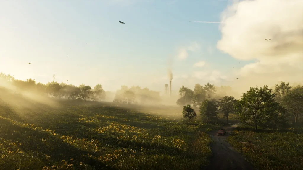
- Misty field: low sun and a pickup on the road. From the description, it looks like Gambit Bay, a hunting area.
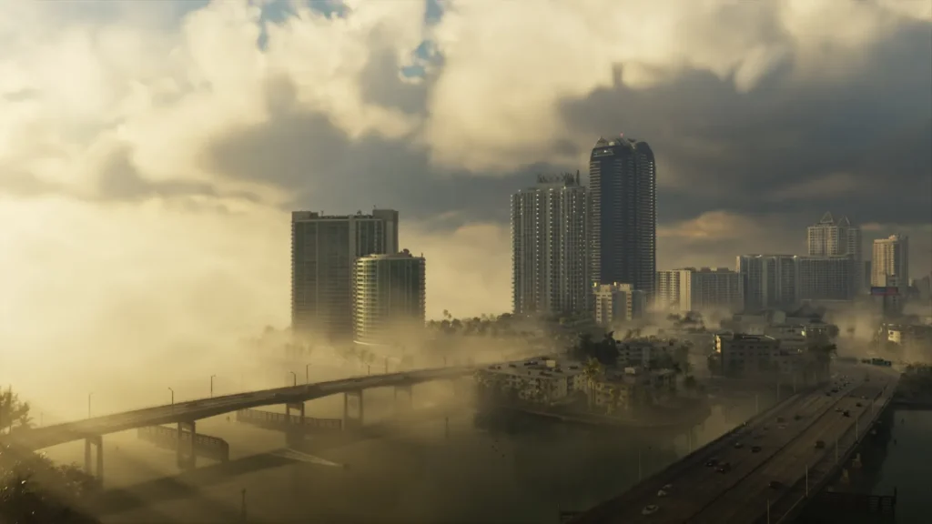
- Vice City in fog: towers and a bridge in the haze. The text mentions morning sea fog at South Ocean Beach.
Rockstar and The Weather Channel name the places in the text but do not match each name to an image. Where a sign is visible (Brian’s Marina, Catalan Key), the identification is safe. For the rest, it is our reading.
What changes in the game
Rockstar had already confirmed tropical storms and hurricanes in GTA 6. According to The Weather Channel text, reported by Notebookcheck, storms slow driving and affect hunting and fishing.
What we still do not know
It is unclear whether a hurricane can permanently destroy buildings or block roads. How often storms happen, and how weather affects missions, has not been disclosed.
See also the GTA 6 timeline.
Sources: Notebookcheck (Nov 16, 2026) · LibertyCity (Nov 17, 2026). Images: Rockstar Games / The Weather Channel.

Leave a Reply